

Can You conquer Starvation?
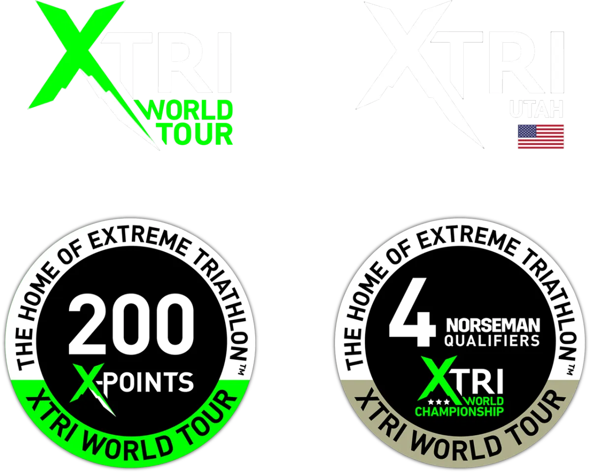
The only U.S. qualifier for the Norseman Xtri World Championship
August 2, 2025 - Solitude Mountain Resort, Park City Utah
Only 250 race slots available
Challenge Yourself
In The Mountains of Utah
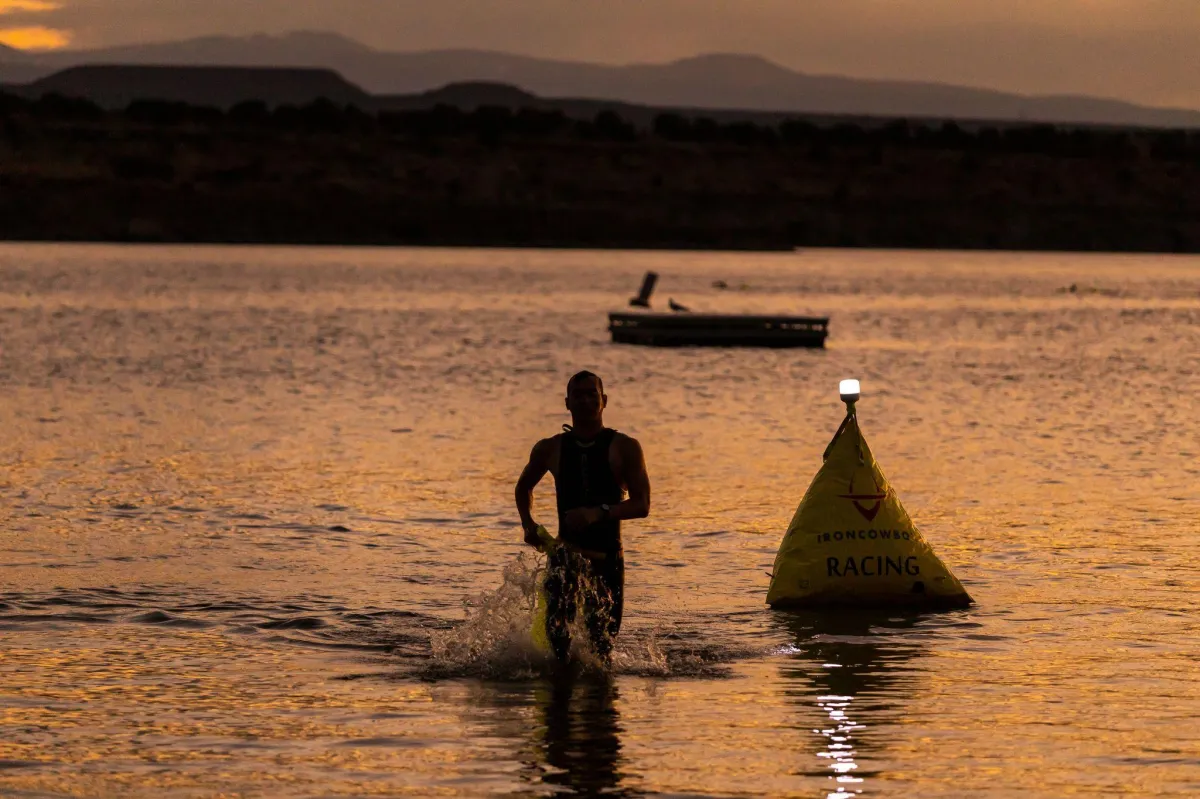
Swim
2.4 Miles / 3.8 Kilometers
Water Temperature 62F / 16C
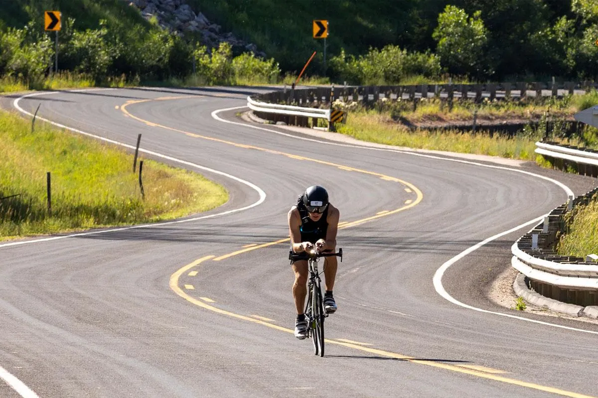
Bike
100 Miles / 161 kilometers
Elevation 9,754 Feet / 2.97 Kilometers
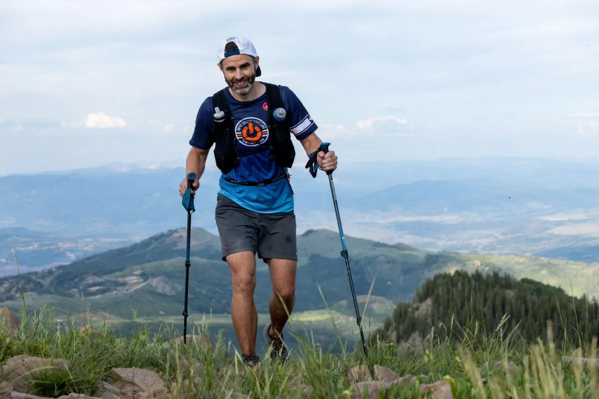
Run
25.3 Miles / 40.7 Kilometers
Elevation 7,543 Feet / 2.29 Kilometers
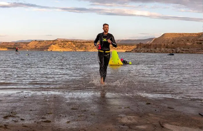
This is an extreme triathlon. The swim is open water and the conditions can be unpredictable. The bike course takes place 5,700 feet above sea level and climbs up over 9,400 feet altitude. THERE IS over 9,700 feet of vertical climbing through the Utah mountains. The run starts at 8,000 feet and peaks with an elevation of over 10,700 feet above sea level. THERE IS 7,543 feet of vertical climbing. The run is off road and on trails in and around the Solitude resort. Before you sign up, please be honest with yourself about the time you have to dedicate to preparing for this event. Every athlete is different in the amount of hours necessary to prepare for an endeavor of this magnitude. Only you know for sure.
August 2, 2025 - Only 250 race slots available


Why Race with us?
Singular CHALLENGE
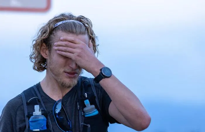
This course will challenge you like no other. From the dark brisk swim, to the punishing elevation on the bike, to the technical running course... YOU WILL be challenged, you will be pushed, you will find your limits. Are you ready?

GROW With Loved Ones
Traditional triathlon is the worst spectator sport! Some races you merely catch a glimpse of your loved ones racing or on the sidelines for only but a few moments throughout what can be a long day. With Starvation, your friends and family are your support crew actively involved in the race! They are with you along your journey providing you encouragement and nourishment & sharing in the challenge.
DISCOVER Your Limits
You will truly find your limits on our course... it's designed to do so. Our goal is to take you to that edge where you come face to face with who you are and what you are capable of. We feel that it's in those moments that you step closer towards becoming the absolute best version of yourself!
August 2, 2025 - Only 250 race slots available
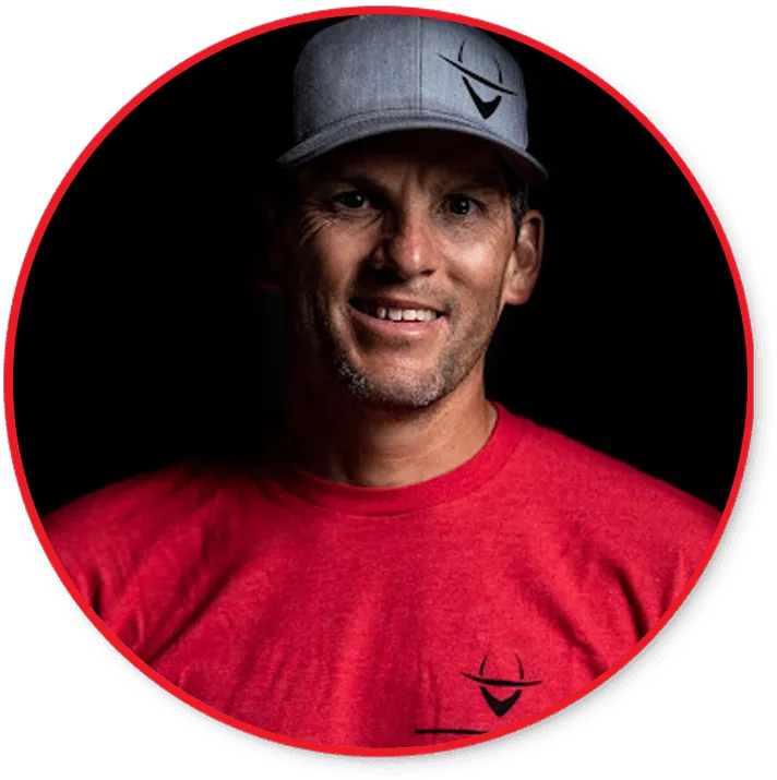
A Message From The Race Director
Traditional triathlon is the worst spectator sport! Some races you merely catch a glimpse of your loved ones racing or on the sidelines for only but a few moments throughout what can be a long day. With Starvation, your friends and family are your support crew actively involved in the race! They are with you along your journey providing you encouragement and nourishment & sharing in the challenge.
- Casey Robles
Race Manual
The contents of this manual are absolutely needed to be known by participants and their supports.
Read it twice. Read it backwards. Read it out loud. Then read it again. By the time you get to the starting line, you should know this manual by heart and every piece of information in it should be as natural to you as riding a bike. Please note that both Race Manual and website are subject to regular revisions and changes. For supplementary information, please refer to our website www.starvationxtri.com, where you’ll find all the “nice to know” stuff.
August 2, 2025 - Only 250 race slots available
A one of a kind triathlon endurance race in one or the most challenging backdrops in America, the Utah Mountains.
Starvation XTri © 2025 | All Right Reserved | Privacy Policy | Terms & Conditions | [email protected]